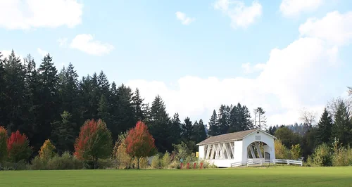
Thompson's Mills State Heritage Site
28 miles north · straight-line distance
State park in Oregon, USA.
Confirm the visitor entrance, hours, reservations, access and seasonal conditions. Islands or water destinations may require different transport.
Get out of town
16 nearby parks, towns and places to explore, ordered by straight-line distance.
28 miles north · straight-line distance
State park in Oregon, USA.
Confirm the visitor entrance, hours, reservations, access and seasonal conditions. Islands or water destinations may require different transport.
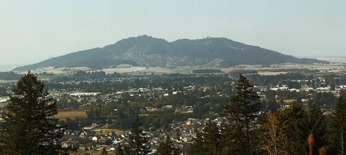
Town30 miles northeast · straight-line distanceAbout 50 min by car (45 road miles, typical traffic, checked October 2026)
City in Oregon, USA.
Confirm the visitor entrance, hours, reservations, access and seasonal conditions. Islands or water destinations may require different transport.
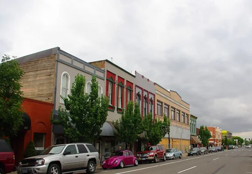
Town34 miles north · straight-line distanceAbout 45 min by car (45 road miles, typical traffic, checked October 2026)
City in Oregon, USA.
Confirm the visitor entrance, hours, reservations, access and seasonal conditions. Islands or water destinations may require different transport.
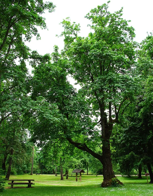
Town37 miles north · straight-line distanceAbout 50 min by car (48 road miles, typical traffic, checked October 2026)
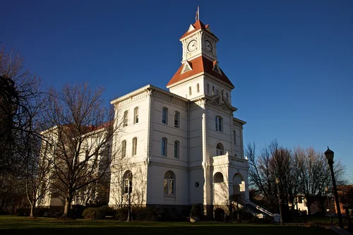
City in and county seat of Benton County, Oregon, United States.
Confirm the visitor entrance, hours, reservations, access and seasonal conditions. Islands or water destinations may require different transport.
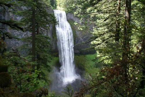
Town40 miles north · straight-line distanceAbout 45 min by car (44 road miles, typical traffic, checked October 2026)
City in and county seat of Linn County, Oregon, United States.
Confirm the visitor entrance, hours, reservations, access and seasonal conditions. Islands or water destinations may require different transport.
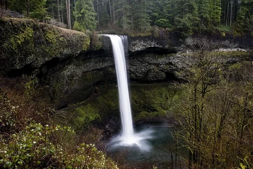
State park51 miles north · straight-line distance
State park of Oregon, United States.
Confirm the visitor entrance, hours, reservations, access and seasonal conditions. Islands or water destinations may require different transport.
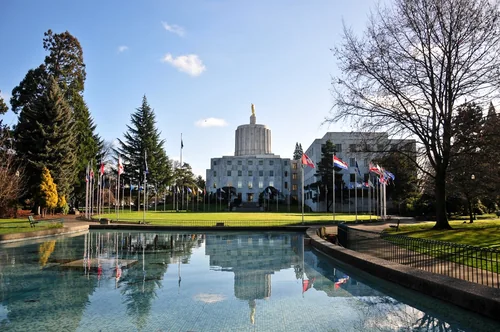
Outdoors57 miles southeast · straight-line distance
Waterfall.
Confirm the visitor entrance, hours, reservations, access and seasonal conditions. Islands or water destinations may require different transport.
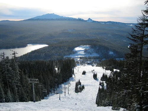
State park60 miles northeast · straight-line distance
State park in Oregon, United States.
Confirm the visitor entrance, hours, reservations, access and seasonal conditions. Islands or water destinations may require different transport.
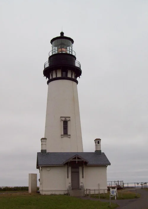
Town61 miles north · straight-line distanceAbout 1 hr 5 min by car (66 road miles, typical traffic, checked October 2026)
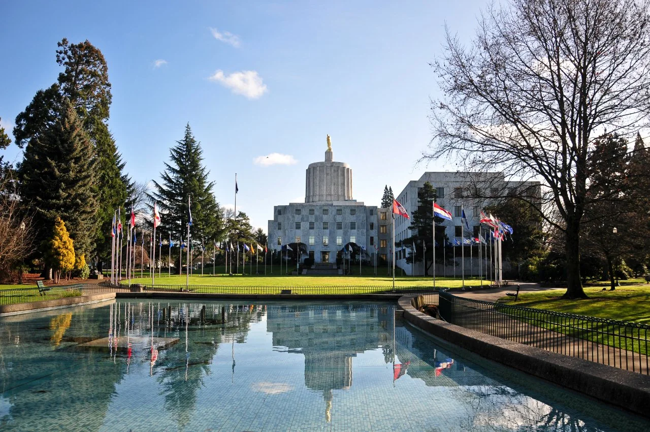
Capital city of the U.S. state of Oregon and seat of Marion County.
Confirm the visitor entrance, hours, reservations, access and seasonal conditions. Islands or water destinations may require different transport.
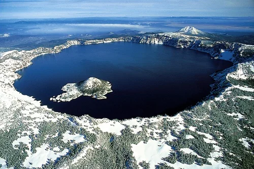
Ski area61 miles southeast · straight-line distanceAbout 1 hr 20 min by car (70 road miles, typical traffic, checked October 2026)
Ski area in the Cascade Range of Oregon.
Official visitor information ↗Place source ↗Plan a route ↗
Confirm the visitor entrance, hours, reservations, access and seasonal conditions. Islands or water destinations may require different transport.
Outdoors65 miles northwest · straight-line distanceAbout 1 hr 50 min by car (99 road miles, typical traffic, checked October 2026)
Lighthouse in Oregon, United States.
Confirm the visitor entrance, hours, reservations, access and seasonal conditions. Islands or water destinations may require different transport.
80 miles north · straight-line distanceAbout 1 hr 45 min by car (95 road miles, typical traffic, checked October 2026)
Aerospace museum in McMinnville, Oregon, USA.
Official visitor information ↗Place source ↗Plan a route ↗
Confirm the visitor entrance, hours, reservations, access and seasonal conditions. Islands or water destinations may require different transport.
National park site92 miles southeast · straight-line distance
National park in Klamath, Douglas, and Jackson counties in Oregon, United States.
Confirm the visitor entrance, hours, reservations, access and seasonal conditions. Islands or water destinations may require different transport.
103 miles north · straight-line distanceAbout 1 hr 50 min by car (110 road miles, typical traffic, checked October 2026)
Art museum in Portland, Oregon.
Official visitor information ↗Place source ↗Plan a route ↗
Confirm the visitor entrance, hours, reservations, access and seasonal conditions. Islands or water destinations may require different transport.
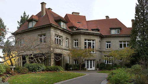
Things to do103 miles north · straight-line distanceAbout 1 hr 50 min by car (112 road miles, typical traffic, checked October 2026)
Historic house museum in Portland, Oregon, USA.
Confirm the visitor entrance, hours, reservations, access and seasonal conditions. Islands or water destinations may require different transport.
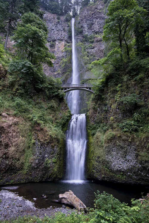
Outdoors116 miles northeast · straight-line distance
Waterfall in the Columbia Gorge in Multnomah County, Oregon, United States.
Confirm the visitor entrance, hours, reservations, access and seasonal conditions. Islands or water destinations may require different transport.
Driving times are typical estimates from the city center without live traffic, Powered by Geoapify · © OpenStreetMap contributors.
Distances are straight-line measurements from the city, not driving distance. Saved road estimates have no consistently recorded source date and are not current traffic; estimates to park centers, water locations or inconsistent routes are omitted. Named-destination route links are not verified entrances. Place descriptions come from Wikidata; photo credits below include recorded capture dates when available. A photograph does not show current conditions.
40 recreation areas and campgrounds within 42 miles, from Recreation.gov. Filter by what you want to do.
5 miles west · straight-line distanceBureau of Land Management
On the western edge of the City of Eugene, visitors can view wildlife and restored wetlands while they walk trails, play a round of disc golf, or ride the Fern Ridge Bicycle Path through the wetlands.
BikingDisc GolfDogs On Leash (Leash Required)HikingPhotographyPicnickingRanger programsWildlife viewing
6 miles north · straight-line distanceAbout 10 min by car (8 road miles, checked October 2026)USDA Forest Service
Located six miles northwest of Sisters, Oregon, off Highway 20, Graham Corral Horse Camp provides early season access to trails and is perfect for horse lovers who are visiting nearby friends.
CampingHorse CampingHorseback riding
6 miles north · straight-line distanceAbout 10 min by car (8 road miles, checked October 2026)USDA Forest Service
South Twin Lake Campground sits on the shores of South Twin Lake, a small lake adjacent to the much larger Wickiup Reservoir. Recreation South Twin Lake provides visitors with the opportunity for fishing, swimming and paddling.
Camping
6 miles north · straight-line distanceAbout 10 min by car (8 road miles, checked October 2026)USDA Forest Service
Located eleven miles west of Sisters, Oregon, off Highway 242, Whispering Pine Horse Camp provides early season access to trails and is perfect for horse lovers who are visiting nearby friends.
Camping
11 miles northwest · straight-line distanceUS Army Corps of Engineers
Fern Ridge Lake, a popular recreation area for sailing, power boating and water skiing, is just 12 miles from downtown Eugene.
BoatingCampingFishingHikingPicnickingWater sportsWildlife viewing
16 miles southeast · straight-line distanceUS Army Corps of Engineers
22 miles southeast of Eugene, Dexter Lake is a popular recreation area offering year-round fishing, seasonal water skiing, sailing, swimming, picnicking and hunting.
BoatingHikingPicnickingWater sportsWildlife viewing
17 miles northeast · straight-line distanceBureau of Land Management
Looking for that motorized trail experience to enjoy with family and friends? The Shotgun OHV System offers a mix of challenges, scenic views, technical features, and amenities to satisfy the OHV enthusiast.
FishingHikingHorseback ridingOff-highway vehiclesPhotographyPicnickingRecreational VehiclesSwimming
17 miles northeast · straight-line distanceAbout 30 min by car (22 road miles, checked October 2026)Bureau of Land Management
The refreshing location with its lush, forest setting, coupled with comforts normally associated with an urban park, blend seamlessly at this popular day-use site.
BirdingCampingHikingPicnickingSwimming
18 miles southwest · straight-line distanceBureau of Land Management
Whether you rock your lycra loud and proud, don moldy flannel, or track frequent flier miles, you are bound to find stuff to post on your favorite social media account at this popular trail system.
BikingHikingHorseback ridingPhotographyPicnicking
18 miles southeast · straight-line distanceUS Army Corps of Engineers
This scenic 1,852 acre lake is surrounded by 22 miles of forested shoreline, providing many opportunities for outdoor recreation such as boating, water skiing, hiking and wildlife viewing.
BoatingHikingHotel/Lodge/Resort Privately OwnedPicnickingWater sportsWildlife viewing
19 miles southeast · straight-line distanceUS Army Corps of Engineers
22 miles southeast of Eugene, Lookout Point Lake is a popular recreation area offering year-round fishing, seasonal water skiing, sailing, swimming, picnicking and hunting.
BoatingHikingPicnickingWater sportsWildlife viewing
19 miles south · straight-line distanceBureau of Land Management
This 14-mile, paved, multi-use National Recreation Trail follows the route of the now-abandoned Oregon Pacific & Eastern Railroad line, along the scenic shores of the Row (rhymes with "cow") River and Dorena Reservoir.
BikingBoatingCampingFishingHikingHistoryHorseback ridingPhotography
19 miles south · straight-line distanceAbout 30 min by car (26 road miles, checked October 2026)US Army Corps of Engineers
Schwarz Campground is located below Dorena Lake in Oregon's Southern Willamette Valley. The campground is approximately five miles from the city of Cottage Grove.
BikingBoatingCampingFishingHistoryWater sports
20 miles south · straight-line distanceUS Army Corps of Engineers
The lake is located in rolling, partially wooded hill country. Its three parks offer boating, swimming, sailing, fishing and water skiing. Schwarz park located downstream of the dam, offers overnight camping for families and groups.
BikingBoatingFishingHikingNature educationPicnickingWater sportsWildlife viewing
23 miles south · straight-line distanceUS Army Corps of Engineers
The lake and its shoreline set in the gently rolling hills of the Willamette Valley, is used for boating, swimming, water skiing, fishing, picnicking and camping.
BoatingFishingHikingNature educationPicnickingWater sportsWildlife viewing
24 miles northwest · straight-line distanceBureau of Land Management
This site, sometimes referred to as Horton Lake, Hult Marsh, Hult Reservoir, or Mill Pond, was developed in the early 1900s for logging operations.
BoatingCampingFishingHikingHorseback ridingPicnicking
24 miles southeast · straight-line distanceAbout 45 min by car (29 road miles, checked October 2026)US Army Corps of Engineers
Ivan Oakes Campground is located on Lookout Point Lake in Oregon's Willamette Valley. Recreation Ivan Oakes Campground is located on the northern shore of Lookout Point Lake in the Calapooya Mountains.
BikingCampingHikingWater sports
24 miles south · straight-line distanceAbout 35 min by car (30 road miles, checked October 2026)US Army Corps of Engineers
Pine Meadows Campground is located on Cottage Grove Lake in Oregon's southern Willamette Valley.
BoatingCampingFishingSwimming
25 miles west · straight-line distanceBureau of Land Management
The natural bedrock slide at Lake Creek Falls is very popular and ideal for a hot summer day! A series of low cascades carved in the bedrock within a narrow gorge create this geological wonder that spills into Triangle Lake.
BikingBoatingCampingClimbingDivingFishingHikingHunting
26 miles east · straight-line distanceAbout 50 min by car (33 road miles, checked October 2026)USDA Forest Service
Clark Creek, located 12 miles northeast of Lowell, Oregon, is a fantastic group campground built by the Civilian Conservation Corps.
BikingCampingHiking
26 miles southwest · straight-line distanceAbout 1 hr 10 min by car (38 road miles, checked October 2026)Bureau of Land Management
Overnight camping is closed until further notice. Day-use recreation areas remain open for public use.
CampingFishingHikingNon-Motorized BoatingSoftball FieldsSwimmingWater Access
27 miles northwest · straight-line distanceAbout 45 min by car (39 road miles, checked October 2026)Bureau of Land Management
Reserve a site at Alsea Falls on recreation.gov or pay when you arrive for non-reserved campsites using the Recreation.gov Mobile App . You must download before you reach the site since there is no cell reception in the drainage.
BikingCampingFishingHikingHuntingMountain BikingPhotography
27 miles east · straight-line distanceAbout 55 min by car (35 road miles, checked October 2026)USDA Forest Service
Bedrock is located in a dynamic landscape setting shaped by fire, this 22 site camground is situated on a terrace above Fall Creek where the hillsides surrounding the camp offer an impressive fireweed bloom display during the summer…
CampingFishingSwimming
27 miles west · straight-line distanceBureau of Land Management
We are working towards adding this recreation site to recreation.gov for electronic payment options with the Recreation.gov Mobile App that you must download before you reach the site.
CampingHikingWater Access
27 miles east · straight-line distanceAbout 1 hr 35 min by car (37 road miles, checked October 2026)USDA Forest Service
Timber Butte Lookout is located in the Fall Creek area of the Willamette National Forest at an elevation of 3,650 feet 19 miles from Lowell, Oregon.
BirdingCampingHuntingWildlife viewing
27 miles northwest · straight-line distanceFish and Wildlife Service
Located outside the City of Corvallis, just off of Highway 99, William L. Finley offers unique wildlife viewing opportunities for the whole family!
BirdingEducational ProgramsFishingHikingHuntingPhotographyRanger programsWildlife viewing
29 miles west · straight-line distanceBureau of Land Management
Beginning in the Whittaker Creek Campground, the steep Old Growth Ridge Trail ascends 750 vertical feet over a mile’s length, topping out at a peekaboo viewpoint over the Siuslaw River.
HikingPhotography
29 miles southeast · straight-line distanceAbout 50 min by car (42 road miles, checked October 2026)USDA Forest Service
Rujada Campground is located 21 miles east of Cottage Grove (45 minutes from Eugene) on a riverside terrace above Layng Creek.
CampingFishingHikingSwimming
29 miles southeast · straight-line distanceAbout 50 min by car (42 road miles, checked October 2026)USDA Forest Service
Rujada Day Use Picnic Area is set along the banks of Layng Creek, with a large, open grassy area amidst a scattering of Douglas fir. Rujada is a perfect setting for family reunions, parties or group getaways.
CampingHikingSwimming
29 miles west · straight-line distanceAbout 50 min by car (36 road miles, checked October 2026)Bureau of Land Management
Overnight camping is closed until further notice. Day-use recreation areas remain open for public use.
CampingHikingPhotographyPicnickingSwimmingWildlife viewing
30 miles southeast · straight-line distanceAbout 1 hr 40 min by car (34 road miles, checked October 2026)USDA Forest Service
Black Canyon Campground in Oregon rests next to the Middle Fork of the Willamette River. This scenic campground is heavily shaded by towering hemlock, cedar and Douglas fir. Fishing and kayaking are a popular pastimes.
BikingBoatingCampingFishingKayaking
32 miles northeast · straight-line distanceUS Army Corps of Engineers
Located in the beautiful Willamette Valley on the South Santiam River, Foster Lake provides boating, swimming and picnicking opportunities. The Foster Dam and Lake regulates the flow from the nearby Green Peter dam.
BoatingCampingFishingHikingPicnickingWater sportsWildlife viewing
32 miles east · straight-line distanceBureau of Land Management
The river visitor is apt to be rewarded in delightful ways while recreating in the cool, lush corridor, home to an array of fish and wildlife, and inspiring scenic beauty.
Fly FishingNon-Motorized BoatingPicnicking
38 miles east · straight-line distanceUS Army Corps of Engineers
This scenic 1,240 acre lake with its many miles of forested shoreline provides multiple outdoor recreational opportunities. Overnight camping is available at Mona campground, boat launching at Saddle Dam and Lookout Creek ramps.
BoatingWater sportsWildlife viewing
39 miles northeast · straight-line distanceUS Army Corps of Engineers
Located in the beautiful Willamette Valley on the Middle Santiam River, Green Peter Lake provides boating, swimming and picnicking opportunities.
BoatingHikingPicnickingWater sportsWildlife viewing
39 miles southwest · straight-line distanceBureau of Land Management
Vincent Creek is a small campground located along Smith River at the mouth of Vincent Creek. Camp or picnic at the site with your family and enjoy a small swimming hole under towering Douglas-fir trees.
CampingFishingPicnicking
40 miles southeast · straight-line distanceUS Army Corps of Engineers
Hills Creek Lake is set in rugged mountain country within the Willamette National Forest. The scenic 2,735 acre lake with its 44 miles of forested shoreline provides many opportunities for outdoor recreation.
Wildlife viewing
40 miles southwest · straight-line distanceBureau of Land Management
Oregon’s Smith River forms in the Coast Range and flows about 50 miles west, emptying into the Pacific Ocean just north of Reedsport, Oregon. This site offers camping right next to the river, just above the falls.
Accessible Facility Or ActivityCampingFishingPicnickingSwimming
41 miles southwest · straight-line distanceBureau of Land Management
Fawn Creek Campground is a primitive two site campground along the river with a small boat ramp providing access to the confluence of Fawn Creek and Smith River.
BoatingCampingFishingPicnicking
42 miles east · straight-line distanceUS Army Corps of Engineers
With the beauty of the McKenzie River and a good reputation for trout fishing and several boat launches, this scenic 1,280 acre lake offers many recreational opportunities.
Wildlife viewing
From the National Park Service; closures, dangers and cautions only. Check the park's page before you go.
Recreation areas and campgrounds from Recreation.gov's directory, checked October 9, 2026. Listings are not live availability: check Recreation.gov or the managing agency for open dates, fees, reservations and conditions. Directions go to the listed coordinates, which may not be the entrance. Campground driving times: Powered by Geoapify · © OpenStreetMap contributors.
This guide includes Thompson's Mills State Heritage Site, Sweet Home, Lebanon, Corvallis, Albany. Places are ordered by straight-line distance. Confirm visitor access, opening hours and current travel conditions before choosing a trip.
Approximately 28 miles north in a straight line. This is not current traffic or a route to a verified visitor entrance. Use the named destination and confirm the appropriate entrance or transport.
Approximately 30 miles northeast in a straight line; driving takes about 50 min over 45 road miles in typical traffic (Geoapify, checked October 2026). This is not current traffic or a route to a verified visitor entrance. Use the named destination and confirm the appropriate entrance or transport.
Approximately 34 miles north in a straight line; driving takes about 45 min over 45 road miles in typical traffic (Geoapify, checked October 2026). This is not current traffic or a route to a verified visitor entrance. Use the named destination and confirm the appropriate entrance or transport.
Recreation.gov lists 16 campgrounds within 30 miles, including Graham Corral Horse Campground (6 miles north), South Twin Lake Campground (6 miles north), Whispering Pines Horse Camp (6 miles north). Check Recreation.gov for current availability, seasons and reservations.